Drawdown
I took the weekly level readings at Gallowbank for nineteen years, and for eighteen of them it was the most boring job in the north of England.
A reservoir does almost nothing. You drive up on a Tuesday, you walk the draw-off tower, you read the gauge board, you write the figure in the book, you drive home. In winter the figure goes up. In summer it goes down. Across nineteen years the most interesting thing that ever happened to me at Gallowbank was a dead sheep in the overflow channel, and I wrote that up on a separate form because there is a separate form for it.
So when I say that the summer of the drought was different, I want it understood that I had eighteen years of nothing to measure it against. I am not a man who finds things remarkable. I had a clipboard and a job and a pension coming.
The village under Gallowbank is called Wreyford. It was flooded in 1936 to supply the mills, and two hundred and fourteen people were moved out to new housing at Thorn Cross, four miles east. The church was deconsecrated. The graves — and this is the part everybody asks about, so I will deal with it now — the graves in the churchyard were exhumed and reinterred at Thorn Cross over the winter of 1935. Four hundred and six of them. There is a memorial listing every name.
Four hundred and six. Hold on to that figure. It becomes the whole of this.
⁂
The gauge board at Gallowbank is marked in feet below spill level, and in a normal August I would write down something between nine and fourteen.
That August I wrote down twenty-two. The next Tuesday, twenty-six. By the third week of September I was writing thirty-one and the board had run out of numbers, and I was measuring down from the last mark with a tape and a note in the margin.
The newspapers got hold of it, because newspapers love a drowned village. There were photographers up on the bank with long lenses, and a man from the regional news did a piece to camera about the drought of 1976, when Wreyford had last come up.
That was when I first went and looked at the 1976 photographs. Not because anything was wrong. Because a reporter asked me a question I could not answer and I do not like that.
⁂
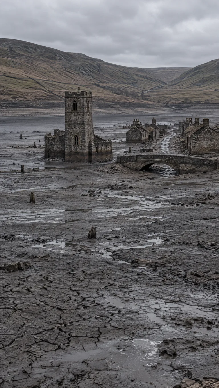
What comes up first is the church tower, and then the bridge, and then the lane between them.
I walked out onto the bed on the twenty-ninth of September, in waders, with the clipboard, because somebody had to check the draw-off screens for silt and that somebody was me.
The mud is not what you expect. It is grey and it is firm and it smells of iron. And standing in the middle of it, with two hundred feet of open sky where forty feet of water should have been, I found that I did not want to walk down the lane, and I made myself do it anyway, because I had eighteen years of not being a man who finds things remarkable and I was not going to start.
The lane runs between what was the post office and what was a row of four cottages.
The cottages had their doors shut.
I want to be careful here, because this is the detail that made me go back to the archive, and if I overstate it the rest of this is worthless. Timber in cold still water does not rot the way timber in air does. Doors survive. I know that. I have read the surveys. A shut door after eighty-nine years underwater is not impossible.
But the doors were hung. They were square in their frames. Not swollen, not sagging off a hinge, not lying flat in the mud the way the lintels had come down at the post office. Four cottages, four doors, all shut, all square.
And there was no silt against them. The mud lay up against the walls to about nine inches, the way it did everywhere. At the doorways it stopped, in a line, as if swept.
⁂
The archive is in a records office in Carlisle and I spent two days of my own leave there, which my wife has never fully forgiven.
They have the 1976 survey photographs. Eleven plates of Wreyford, taken in the last week of August, when the drawdown reached twenty-nine feet. They have the 1959 drawdown as well, which was shallower, and a single plate from 1949.
I laid them out in order and I looked at them for a long time.
In 1949 the row of four cottages has no roofs. The gable ends stand, and the rest is rubble in a heap, and you can see straight through to the field wall behind.
In 1959 the gable ends stand, and the rubble has gone, and there are what might be roof timbers lying in a stack beside the lane.
In 1976 the cottages have roofs. Not whole roofs. Three of the four have roofs.
I sat in a records office in Carlisle on a Thursday afternoon with eighty years of photographs in front of me, and the thing I was looking at was a village that got better.
⁂
I did not tell anybody for a long time, and I am aware that this is the part that will cost me.
I told myself the obvious things. Restoration work by a heritage group — except nobody can work forty feet under water for twenty years at a stretch. Silt redistribution — except silt does not stack roof timbers. Mislabelled plates — I checked the plate numbers against the register three times.
What I eventually did was go back to the memorial at Thorn Cross and count the names.
There are four hundred and six names on the memorial, because four hundred and six graves were moved in the winter of 1935. That figure is in the parish record, it is in the water board minutes, and it is cut into the stone.
The burial register for Wreyford church, which is in the same records office, runs from 1702 to 1935.
It lists four hundred and thirty-one.
Twenty-five people are buried in that churchyard who were never moved, and whose names are on no memorial, and who have been under forty feet of water for eighty-nine years, and I have stood on the mud nine inches from their door.
The level is still dropping. I write the figure in the book every Tuesday.
And someone, down there, is putting the roofs back on.
 Read next
Made Good
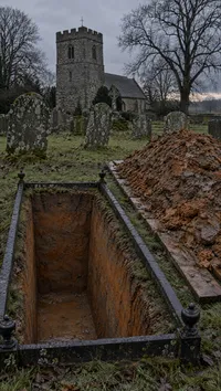
A grave with no name on it is opened and refilled every seventh year by order of a bequest nobody can produce. Nobody is buried in it. It gives back more clay than it is given.
Get the next one first
A new horror story every week, free, straight to your inbox. Subscribers read each one before it appears anywhere else.